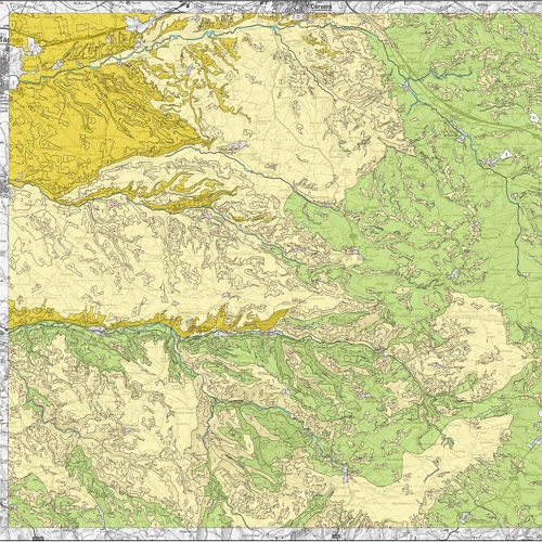
The University of Barcelona's CRAI Map Library brings together the cartographic collections held in the Earth Sciences, The Pavelló de la República, Philosophy, Geography and History, Rare Book and Manuscript CRAI Libraries and the Plant Biodiversity Resource Centre (CeDocBiV).
It comprises a general map collection, city plans, atlases and a wealth of ancient cartographic materials. Significant areas of the collection include:
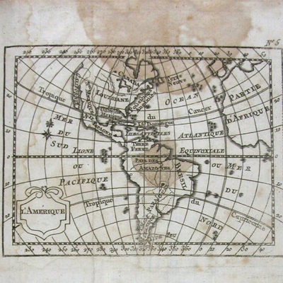
- The great classic atlases (Mercator, Blaeu, Ortelius, etc.) and nautical and star charts printed in Europe between the sixteenth and early-nineteenth centuries, in the CRAI Rare Book and Manuscript CRAI Library.
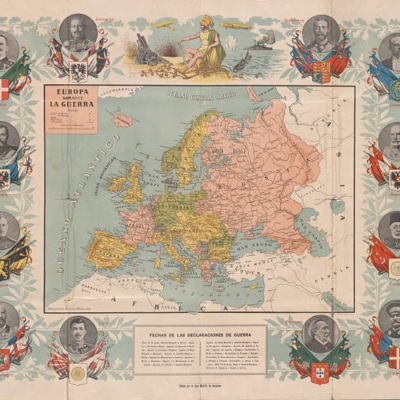
- Plans and maps from the Spanish Civil War and pertaining to the bombing of Barcelona, in the Pavelló de la República CRAI Library.
- Digitized maps and plans in the CRAI Library of Philosophy, Geography and History where it is necessary to emphasize the thirty maps of the Mapa topográfico nacional de España 1:50.000, edited between the 20s and the 50s.
- School wall maps, in the CRAI Library of Philosophy, Geography and History.
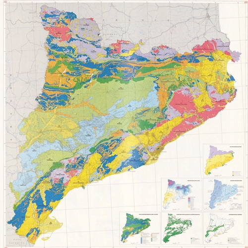
- Thematic maps available for consultation through the CeDocBiV, resulting from studies of plant communities and landscapes.
- The set of sheets of the Map of Catalonia (geological and topographical) produced between 1922 and 1941, at a scale of 1:100,000, based on a project initiated by the Mancomunitat of Catalonia.
The bulk of the collection can be found in:
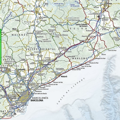
- Earth Sciences Map Library which holds some 10,000 maps (from around the world, but particularly Catalonia and the Iberian Peninsula) and approximately 14,000 aerial photographs of Catalonia and Aragon.
- Geography Map Library with a collection of 16,000 maps, 9,500 image maps and 1,000 atlases, from around the world but particularly Catalonia and Spain.
